The river is a planning problem, not a scenic feature
Water policy and land use are the same subject seen from two directions. Where development goes determines what the river does in a storm, and what the river does in a storm determines where development can go.
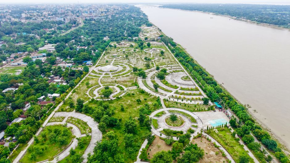
A river corridor carries several obligations at once: drinking water supply, flood conveyance, habitat, and recreation. These are not naturally compatible. Drawing more water lowers flows that habitat depends on. Hardening banks to protect property speeds water downstream onto someone else. Every decision is a trade, and the trades are easier to make honestly when they are written down.
Minimum flows, and why they are contested
A minimum flow is the point below which further withdrawal causes significant harm. Setting one is a scientific exercise with an unavoidable political core: significant is a judgement, not a measurement. Set it high and supply is constrained. Set it low and the damage accumulates slowly enough that no single decision is blamed.
Flood maps describe probability, not certainty. A property outside the hundred-year floodplain is not a property that will not flood; it is one where the annual chance was estimated below one percent using the rainfall record available when the map was drawn.
What changes when upstream develops
Replacing soil with roof and pavement does not create water, it changes timing. Rain that used to soak in over hours now arrives in the channel in minutes. The peak gets higher and earlier. Downstream property that flooded rarely begins to flood regularly, without anything having changed on that property at all.

Practical reading for residents
- Find your parcel on the current flood map, then find the date the map was adopted.
- Check whether upstream land has been rezoned since then.
- Ask what storage was required of recent developments, and whether it was built as approved.